Mapilio and OpenStreetMap
Street-level imagery for OpenStreetMap
Use imagery contributed to Mapilio as a reference for improving OpenStreetMap. We are an independent imagery provider, not part of the OSM Foundation.

OpenStreetMap Commitment
Mapilio hosts its own imagery collection. Contributors can use it to check signs, road details and other visible features while editing OpenStreetMap. Publishing a photo to Mapilio does not automatically add data to OSM; mappers review what they see and make their own edits.
Rights for OpenStreetMap
Our terms explicitly allow deriving information from Mapilio imagery for contribution to OpenStreetMap under the OSM Contributor Terms. This is separate from the CC BY-SA conditions for reusing the images. Please read the terms and licensing information for details.

Tools for OSM contributors
Explore imagery, check what is visible and contribute useful information through OSM's editing tools. AI detections can help identify features, but they are not automatic OSM edits. Review the results and follow the community's contribution practices. Developers can help improve our integrations, documentation and open-source tools.
Mapilio iD integration source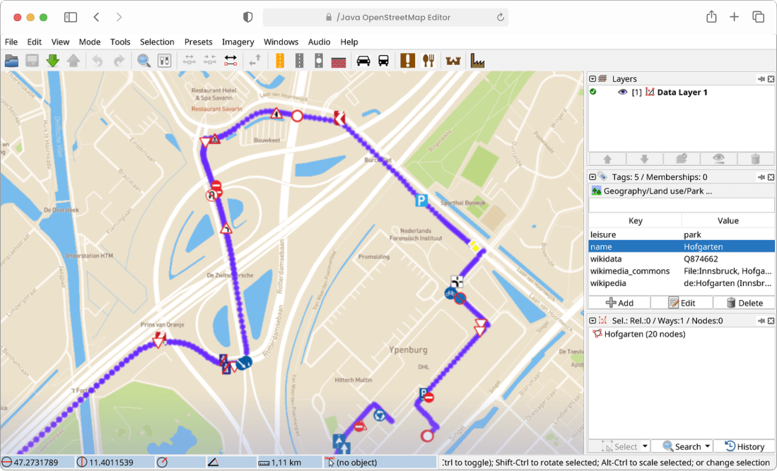
Contribute to the tools
The mobile app source has been public since 7 September 2026. Read the contribution guide to help with code, translations, documentation or bug reports. Source publication is separate from the next App Store and Google Play release.
Today you can browse imagery in the web map and use the published iD integration source. This is not a claim that every OSM editor ships a Mapilio layer. New editor integrations, marketplace tasks, drone workflows and mobile interface changes remain development plans in our roadmap.
Start sharing images and accessing map data now.
Mapilio is an independent provider of street-level imagery and map data, not affiliated with OpenStreetMap or any specific map platform.